Walks
Staunton Harold Circular Walk
Distance: 6.1 miles
Terrain: Easy, but quite a bit of road.
Location: Derbyshire / Leicestershire border close to Melbourne, Calke, Staunton Harold
Map: Explorer 245 (National Forest)
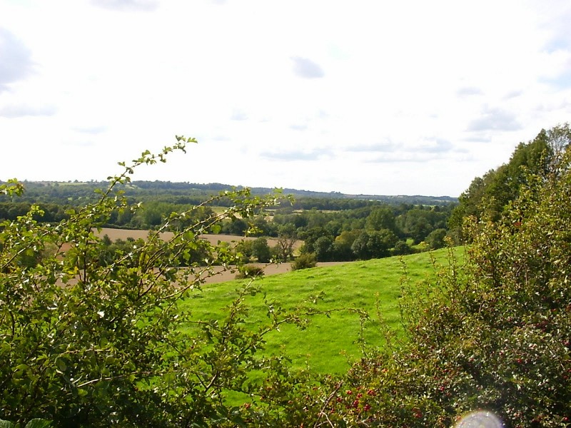 A good viewpoint is an important part of a good circular walk.
This spot is not marked on the map as a viewpoint, but I think it should be. It's in Leicestershire, but it's close enought to South Derbyshire to have the same feel - rural, rolling green hills.
The spot in question is on the B587 close to Staunton Harold Hall. Yes, you have to enjoy these views from the discomfort of a fast road. But it's worth it.
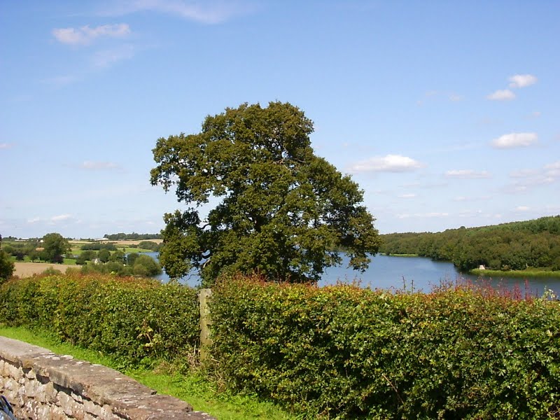 There are a couple of convenient car parks en route (the Severn Trent one just past Dimminsdale and the craft centre) but I chose to start at the round car park below Staunton Harold Reservoir. It's off the circular route by about half a mile, and so adds a bit on to the total distance, but it's worthwhile because of the wonderful views from that car park (which *is* marked as a viewpoint on the map).
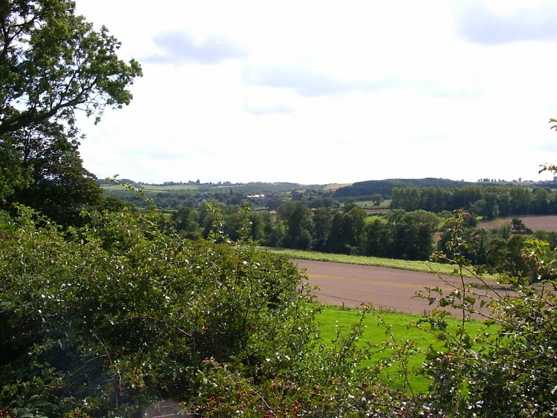
 Follow the road away from the round car park, and follow around to the left when you come to a junction. The road passes Dimminsdale nature reserve and crosses the bottom of the reservoir.
 This walk follows the Ivanhoe Way for a little bit. Part company with the long-distance route at SK388218, turning right, and then left at the next field boundary. The next couple of fields that you have to cross were a bit difficult at the time of writing; the footpath itself being very overgrown. Eventually you emerge onto that B587. This is the viewpoint. Just before arriving at the road, you're very close to a high spot and will enjoy long views for almost 360 degrees.
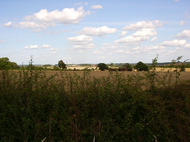
 At the road there's a good long view in almost all directions. Unfortunately, as it's a road, enjoying these views is over hedgerows. Footpaths are few and far between here, but it's worth walking along the road north-west as far as a sharp bend in the road for another vantage point to take in more of these long views.
Please take care on the road. Walk on the right-hand side, facing the traffic, get onto the verge when you can, or to get out of the way of cars. If you're facing a right-hand bend, it's safer to cross carefully and walk on the left so that you can see around the bend. In that case, keep your ears open for traffic behind you.
 Unfortunately, it's then about a kilometer along this road (approx south-east). Just before the big road junction, pick up the driveway / track towards Stanton Harold Hall and the Ferrers Craft Centre. It has a brown sign pointing the way. It's a very pleasant walk.
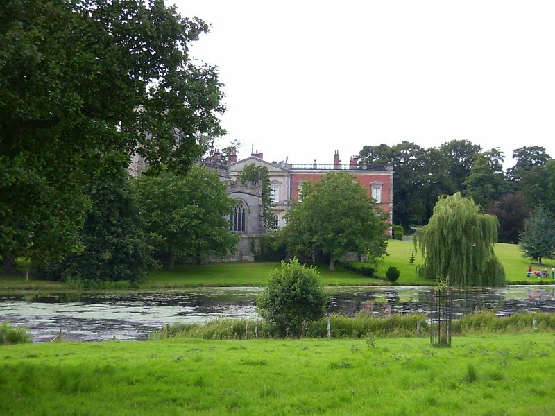
Look out for a fork in the road where traffic has to go left (towards the car park) and pedestrians can walk straight on. You'll arrive at Stanton Harold Hall, which has its own church and lake; a real beauty spot. The church is a National Trust property. If it's open, please take a look around inside. It has a fascinating painted ceiling and much family history.
Over a footbridge and beyond the hall is The Ferrers Centre, one of the best craft centres around and I recommend the tea shop for refreshments.
After passing through the craft centre, it's a short and pleasant walk through Dimminsdale nature reserve before emerging on the road at the bottom of the reservoir, and retracing steps back along the road to the round car park.
blog posts about this walk:
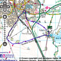
View the route
The link to the right will show you an interactive map with the route shown on it, provided free to you at this level of detail by the lovely folk at OS. The detail on it will be the equivalent of the Landranger map (1:50,000). For the full detail and a map you can carry around the walk with you, you will need an explorer (1:25,000) map. Please use the link below to buy a copy.
This walk uses Ordnance Survey map Explorer 245 (National Forest)
Unlimited listening to thousands of titles:
