Walks
Viking Way: Bardney/Stainfield to Fiskerton
Distance: 6 miles or 9 miles
Terrain: pretty flat.
View / download the route
map: Ordnance Survey Explorer 273 (Lincolnshire Wolds South) and
Ordnance Survey Explorer 272 (Lincoln)
My last walk: 30 Aug 2022
 This is a linear route, which means that you will need to either walk the route and then retrace your steps (doubling the length of the walk) or arrange transport from one end to the other, or arrange to be dropped at one end and collected at the other. The route goes between two places which each have parking (Fiskerton has a village hall with car park and information board).
For a slightly longer walk, Start / finish at Bardney, north of Woodhall Spa. (9m total.) For my last walk, we started at Stainfield, a little further along the Viking Way than Bardney (just under 6m total).
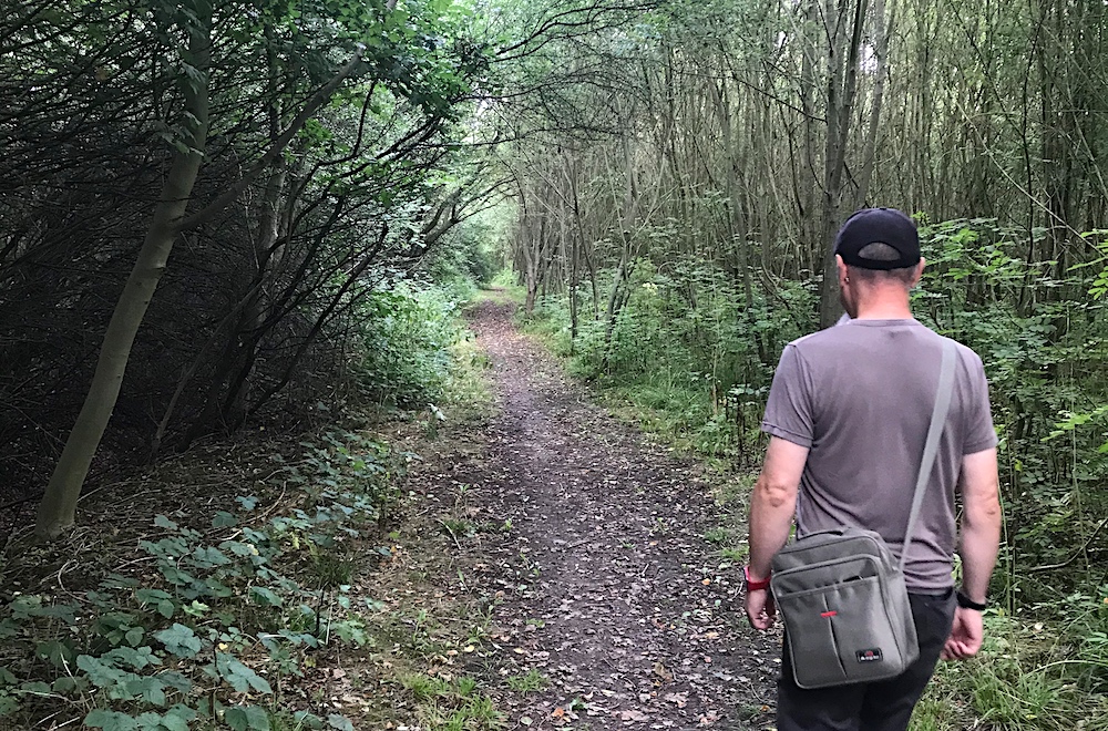
This walk includes some very pleasant country lanes and a surprising historic landmark.
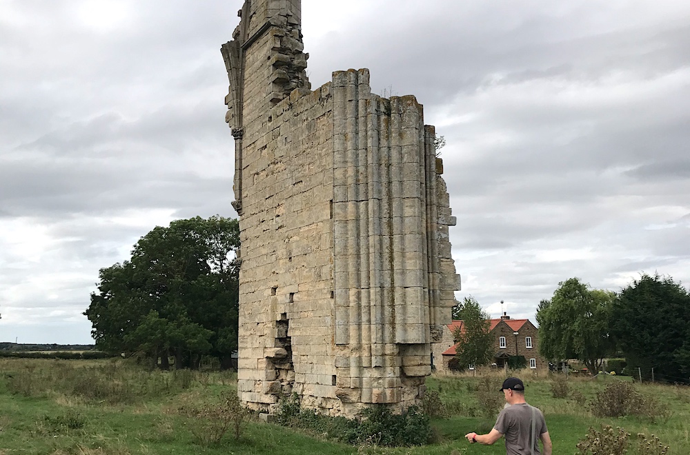 There are a number of ruined abbeys in this area. There's little to see at many of these sites but Barlings Abbey is remarkable for this chunk of wall still standing. It's on private land but you're allowed to leave the public right of way and walk up to and around the ruins. It makes a great picnic spot.
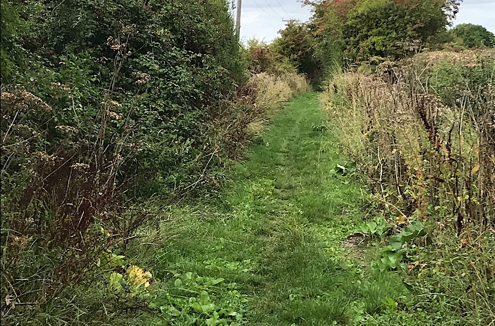 The rest of the route to Fiskerton is very pleasant. The Viking Way is mostly very well-marked with fingerposts and the yellow Viking disc. Most of this walk is on reasonably obvious footpaths but sometimes signs are hidden or in bad repair and paths may not be so obvious. so keep your wits about you and your map to hand.
Some of this route is on road. Take the usual precautions and stay safe.
blog posts about this walk:
View / download the route
Below is an interactive map with the route shown on it, which you can make full-screen. To take a paper map with you at the best detail, you will need an explorer (1:25,000) map. Please use the link below to buy a copy. Below the map is a link to download the GPX file which you can open in many mapping and navigation apps, including OsmAnd (Open Street Map) and OSMaps (Ordnance Survey)
Download GPX file for the Viking Way: Bardney/Stainfield to Fiskerton for use with other websites or your handheld device (right-click to save file)
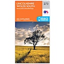
This walk uses Ordnance Survey Explorer 273 Lincolnshire Wolds South
1:25,000 scale map Lincolnshire Wolds South. Click the thumbnail for more information
Note that OS paper maps now include the digital / mobile map, downloadable and viewable *offline* in the OSMaps app. The routes provided on these pages in GPX format will open and display over the digital mapping in the OSMaps app.
View Ordnance Survey Explorer 273 Lincolnshire Wolds South at Amazon
This walk uses Ordnance Survey Explorer 272 Lincoln
1:25,000 scale map Lincoln. Click the thumbnail for more information
Note that OS paper maps now include the digital / mobile map, downloadable and viewable *offline* in the OSMaps app. The routes provided on these pages in GPX format will open and display over the digital mapping in the OSMaps app.
Unlimited listening to thousands of titles:
