Walks
Viking Way: Long Benington to Woolsthorpe
Distance: 7.3 miles
Terrain: some inclines.
View / download the route
map: Ordnance Survey Explorer 247 (Grantham)
My last walk: 19 April 2023
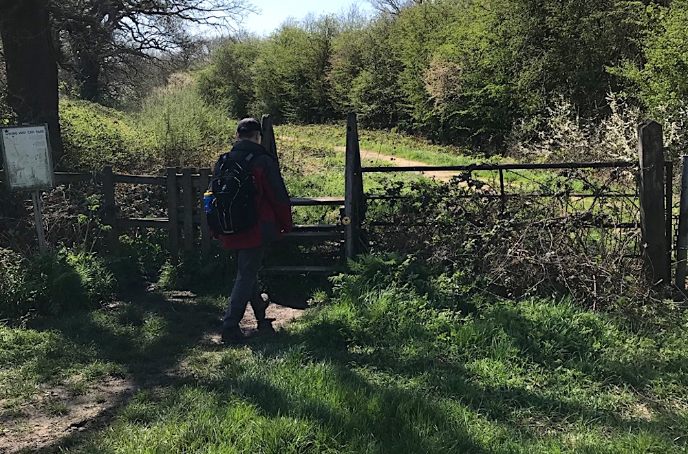
 This is a linear route, which means that you will need to either walk the route and then retrace your steps (doubling the length of the walk) or arrange transport from one end to the other, or arrange to be dropped at one end and collected at the other. The route goes between two points which each have parking. The Viking Way is mostly very well-marked with fingerposts and the yellow Viking disc. Keep your wits about you and your map to hand.
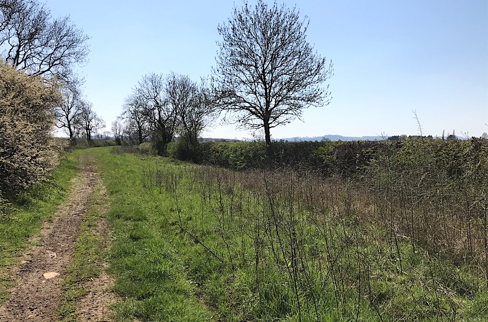 There are sections of road, in fact after leaving Long Benington you have to cross the A1. A smaller road bridges the A1 but there are roundabouts and a lack of pavements so be careful here. Later on it's necessary to cross a railway line and the A52 so again take care. But once out in the countryside, this is one of the most picturesque walks.
 When the surfaced tracks turn into lanes, the walking can be pleasant. Belvoir castle is visible on the horizon for most of this walk. However, the middle section is spoiled a little by deep ruts made by off-road vehicles, making walking more difficult and a little bit hazardous.
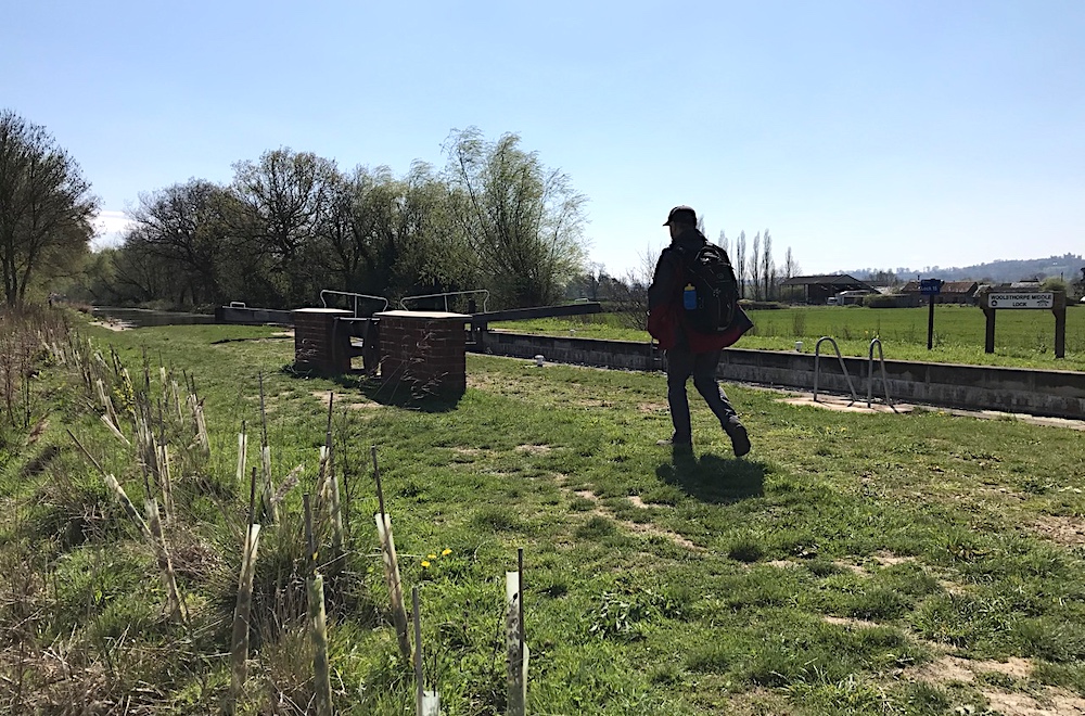 A section of the walk follows the Grantham Canal. There's a bench by one of the locks which makes a very nice lunch spot.
 After a bend in the canal you'll leave it. There's quite a climb but this leads to some of the most spectacular views. You'll emerge onto a road at SK845337 where there is some parking and may be a good spot to end the walk.
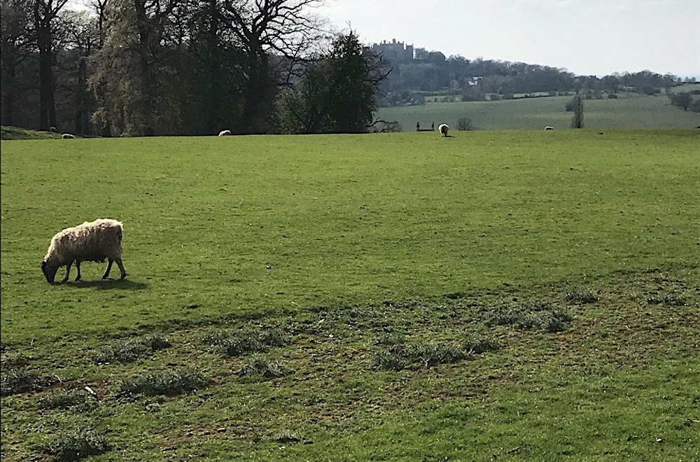 However, I recommend an alternative ending to the walk. If you you head up the road, following the Jubilee Way, it heads into woods after a couple of hundred yards and eventually into Woolsthorpe by Belvoir, and here are some really beautiful views of the castle and surrounding land.
Some of this route is on road. Take the usual precautions and stay safe.
blog posts about this walk:
View / download the route
Below is an interactive map with the route shown on it, which you can make full-screen. To take a paper map with you at the best detail, you will need an explorer (1:25,000) map. Please use the link below to buy a copy. Below the map is a link to download the GPX file which you can open in many mapping and navigation apps, including OsmAnd (Open Street Map) and OSMaps (Ordnance Survey)
Download GPX file for the Viking Way: Long Benington to Woolsthorpe for use with other websites or your handheld device (right-click to save file)
Ordnance Survey Explorer 247 Grantham
1:25,000 scale map incuding Bottesford & Colsterworth. Parts of Jubilee Way, Mowbray Way, Rutland Round and Viking Way are clearly marked.
Note that OS paper maps now include the digital / mobile map, downloadable and viewable *offline* in the OSMaps app. The routes provided on these pages in GPX format will open and display over the digital mapping in the OSMaps app.
Unlimited listening to thousands of titles:
