Walks
Viking Way: Horncastle to Woodhall Spa Sculpture trail
Distance: 6.5 miles
Terrain: surfaced and flat.
View / download the route
map: Ordnance Survey Explorer 273 (Lincolnshire Wolds South)
My last walk: 10 Apr 2022
 This is a linear route, which means that you will need to either walk the route and then retrace your steps (doubling the length of the walk) or arrange transport from one end to the other, or arrange to be dropped at one end and collected at the other. The route goes between two towns which each have good parking
 The Viking Way is very well-marked with fingerposts, usually with the yellow Viking disc. Most of this walk is along an old railway line, so navigation is minimal. But keep your wits about you and your map to hand, particularly in or close to the towns.
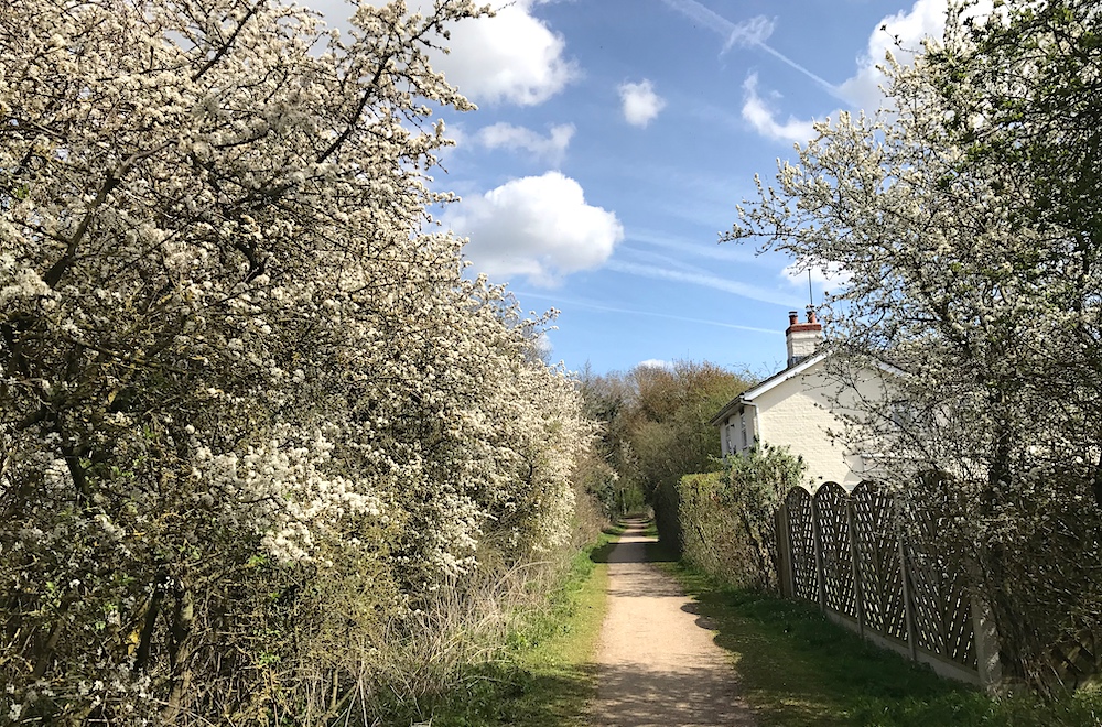
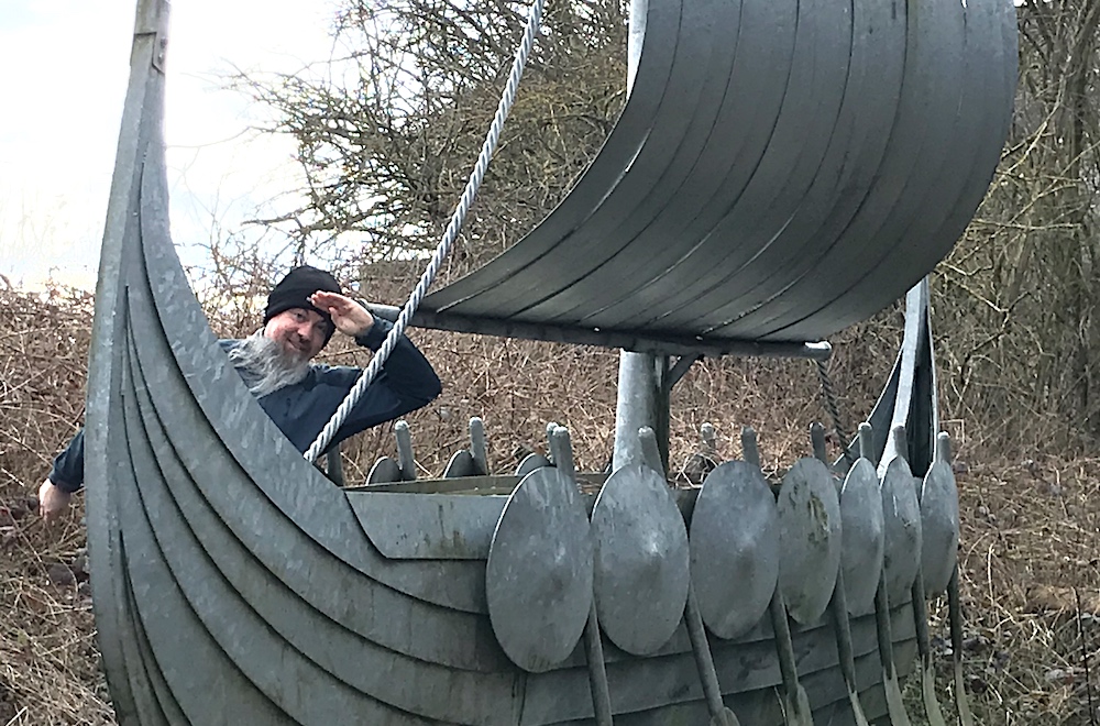
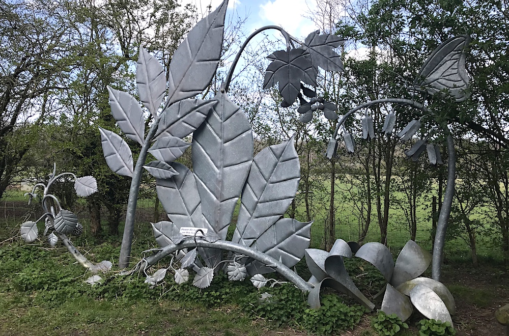
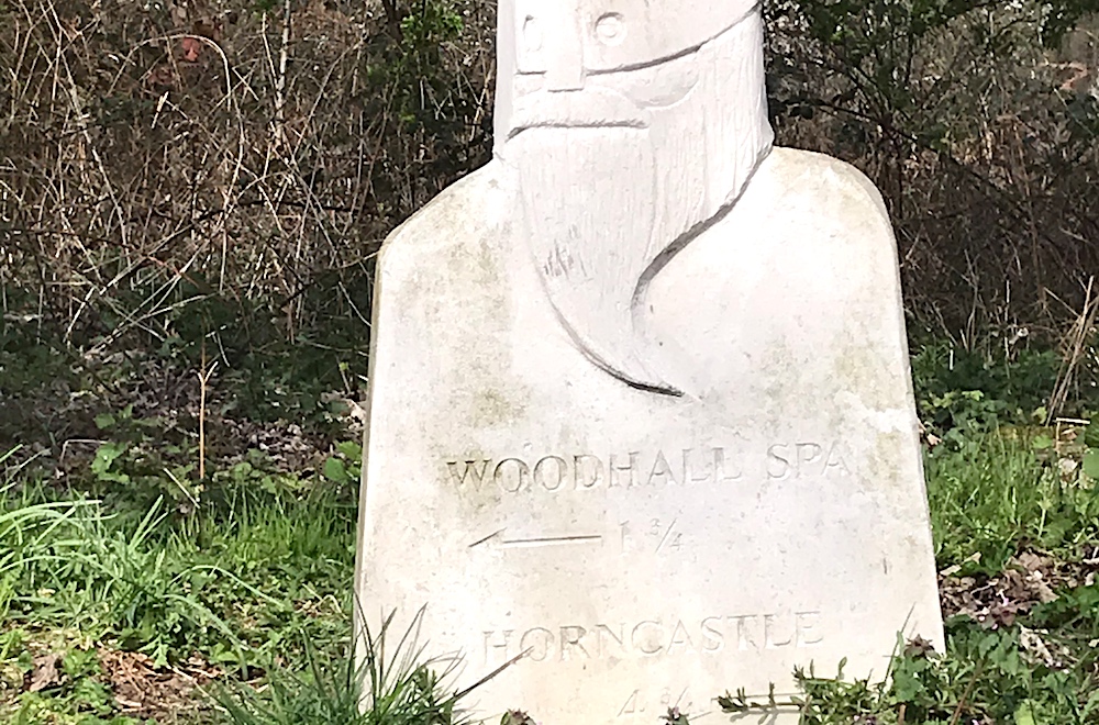
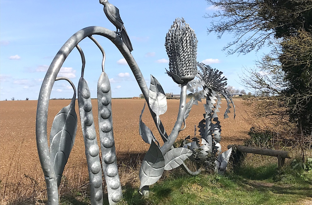 This route follows an old railway line, therefore it's surfaced and flat. It's easy walking for the inexperienced and the 6.5m is manageable for most. There are information boards along the route to tell you the history of the railway line and the workers. There are plenty of sculptures to be enjoyed
 Both Woodhall Spa and Horncastle are decent towns with parking, lots of interesting shops and cafes.
Some of this route is on road. Take the usual precautions and stay safe.
blog posts about this walk:
View / download the route
Below is an interactive map with the route shown on it, which you can make full-screen. To take a paper map with you at the best detail, you will need an explorer (1:25,000) map. Please use the link below to buy a copy. Below the map is a link to download the GPX file which you can open in many mapping and navigation apps, including OsmAnd (Open Street Map) and OSMaps (Ordnance Survey)
Download GPX file for the Viking Way: Horncastle to Woodhall Spa Sculpture trail for use with other websites or your handheld device (right-click to save file)

This walk uses Ordnance Survey Explorer 273 Lincolnshire Wolds South
1:25,000 scale map Lincolnshire Wolds South. Click the thumbnail for more information
Note that OS paper maps now include the digital / mobile map, downloadable and viewable *offline* in the OSMaps app. The routes provided on these pages in GPX format will open and display over the digital mapping in the OSMaps app.
View Ordnance Survey Explorer 273 Lincolnshire Wolds South at Amazon
Unlimited listening to thousands of titles:
