Walks
Rutland Water Empingham Circular Walk
Distance: 6.5 miles
Terrain: fairly flat
View / download the route
map: Ordnance Survey Explorer 234 (Rutland Water)
 My last walk: 18 May 2021
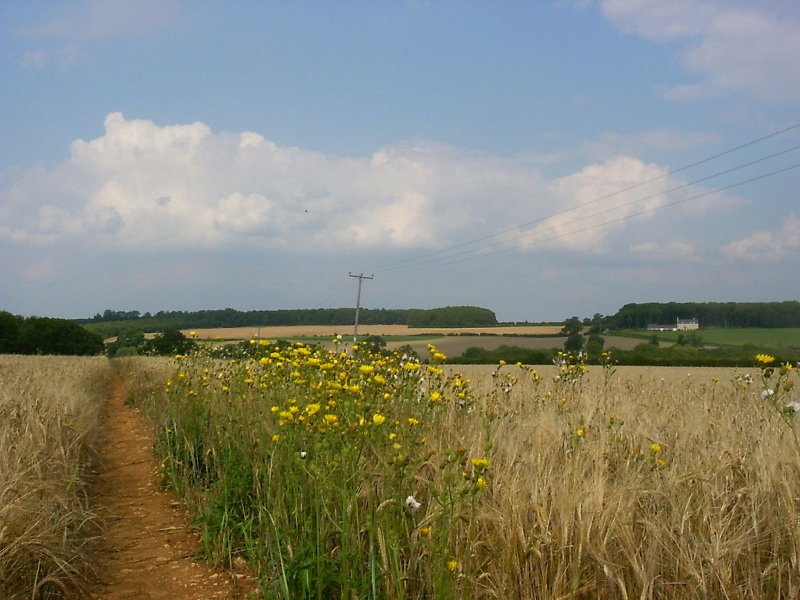
Start at Exton (just south of), SK928107. At this start point is a handy lay-by. Waymarkers clearly mark the first part of this route 'Viking Way', a long-distance path running from North Lincolnshire to Oakham (close to here). This part of the Way really is beautiful.
My last walk: 18 May 2021
Start at Exton (just south of), SK928107. At this start point is a handy lay-by. Waymarkers clearly mark the first part of this route 'Viking Way', a long-distance path running from North Lincolnshire to Oakham (close to here). This part of the Way really is beautiful.
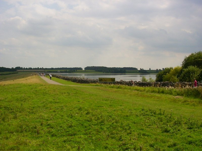
The path eventually arrives at the water close to the Harbour Cafe (which does a great bacon and brie baguette!) You can see the dam from the cafe patio, and following the reservoir's circular route clockwise (keeping the water to your right) brings you to the dam.
 Leave the reservoir at the start of the dam and headed for Empingham. The Rutland Round crosses fields to Empingham, which is a picturesque route if a little harder to find from the start of the dam.
Alternatively (you may do this by accident) take a more direct route along a track and then on the A606 for a short way. At SK947087, bypass the town by taking a public right of way across a field (and a cricket pitch!)
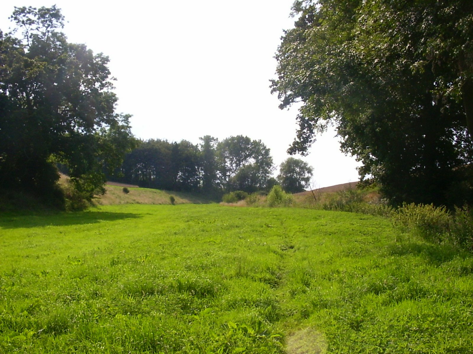
Follow the Exton Road away from Empingham. There is another nice glimpse of the water at the brow of the hill before leaving the Exton Road. (SK948091)
Again from here the footpaths are well waymarked and the views really beautiful.
 When you emerge at another road, you should be at the trout hatchery, turn left and follow the road west for about half a mile. It's possible to continue along this quiet road back to Exton, but look out for the right of way which runs parallel to it (past Cuckoo Farm) which is a rewarding finish to this walk.
Osprey webcam at Lyndon Nature Reserve - Rutland Water is home to the first Ospreys to breed in England for 150 years. View the webcam
blog posts about this walk:
View / download the route
Below is an interactive map with the route shown on it, which you can make full-screen. To take a paper map with you at the best detail, you will need an explorer (1:25,000) map. Please use the link below to buy a copy. Below the map is a link to download the GPX file which you can open in many mapping and navigation apps, including OsmAnd (Open Street Map) and OSMaps (Ordnance Survey)
Download GPX file for the Rutland Water Empingham Circular Walk
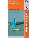
This walk uses Ordnance Survey Explorer 234 Rutland Water
1:25,000 scale map Rutland Water. Includes Stamford and Oakham. Click the thumbnail for more information
Note that OS paper maps now include the digital / mobile map, downloadable and viewable *offline* in the OSMaps app. The routes provided on these pages in GPX format will open and display over the digital mapping in the OSMaps app.
Unlimited listening to thousands of titles:
